


Mars Resources
Explore this page for a curated collection of Martian resources, including activities that can be done at home, as well as videos, animations, printable graphics, and online interactives. This resource package is suitable for educators, students, and anyone interested in learning more about Mars!

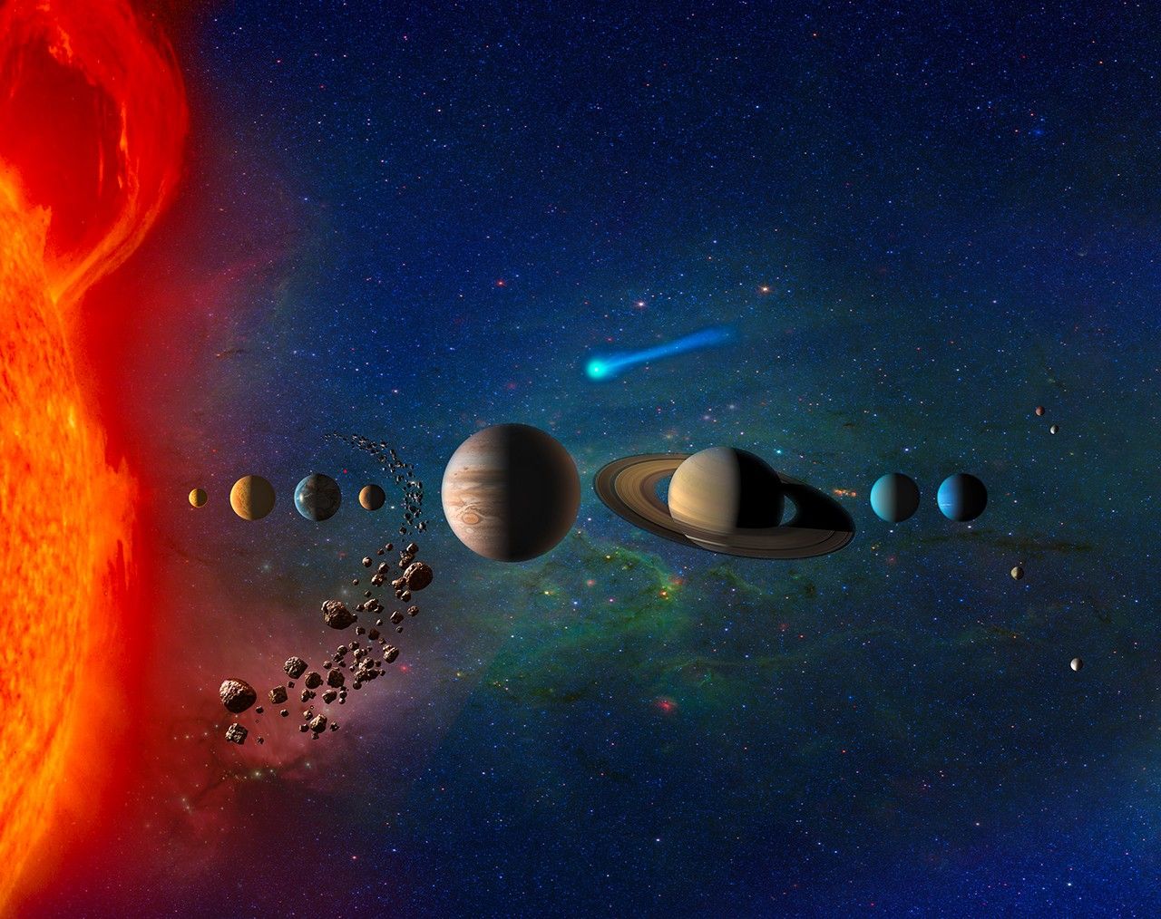
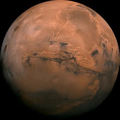
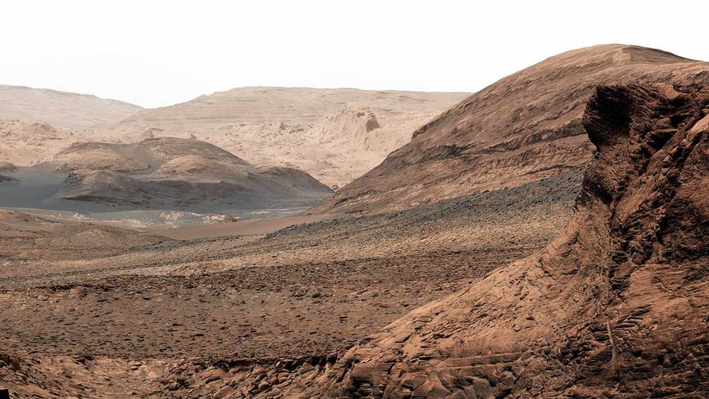
Discover Mars
In addition to the resources on this page, follow along with updates on Mars science and upcoming missions through @NASAMars on your preferred social media platform.
The Mars Report
Covering Mars rovers, landers, and orbiters, this series shares what the missions are up to, and shows us how robotics are teaching us more about Mars.
Watch More Mars ReportsVideos & Animations

How Did Mars Get Its Moons?

Mars in 4K: Perseverance's Rock Sample Collection

Evolution of NASA’s Mars Rovers: Sojourner to Perseverance
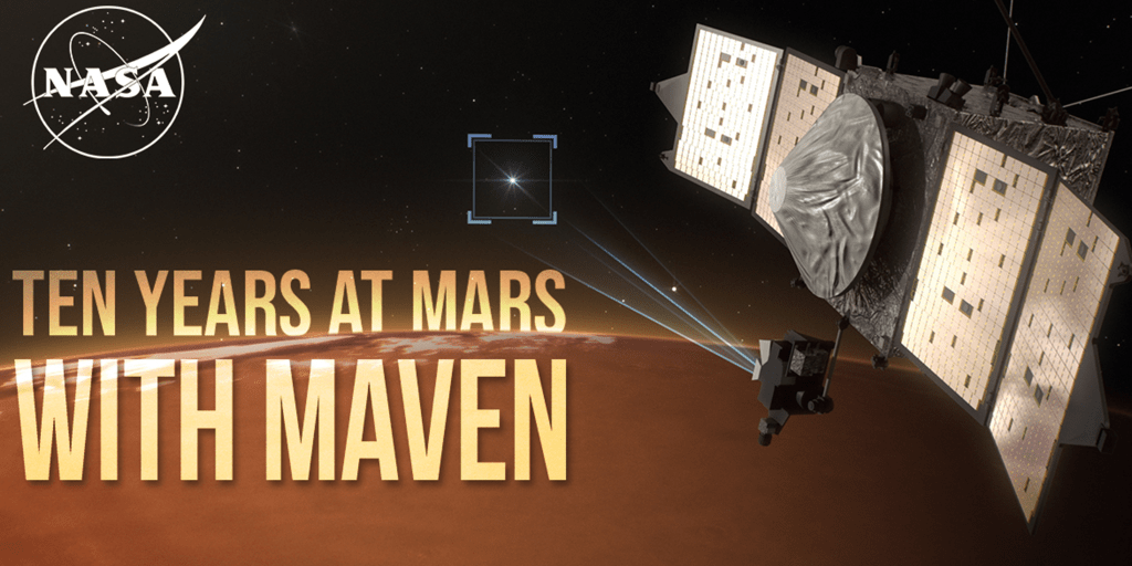
Ten Years at Mars with NASA's MAVEN Mission
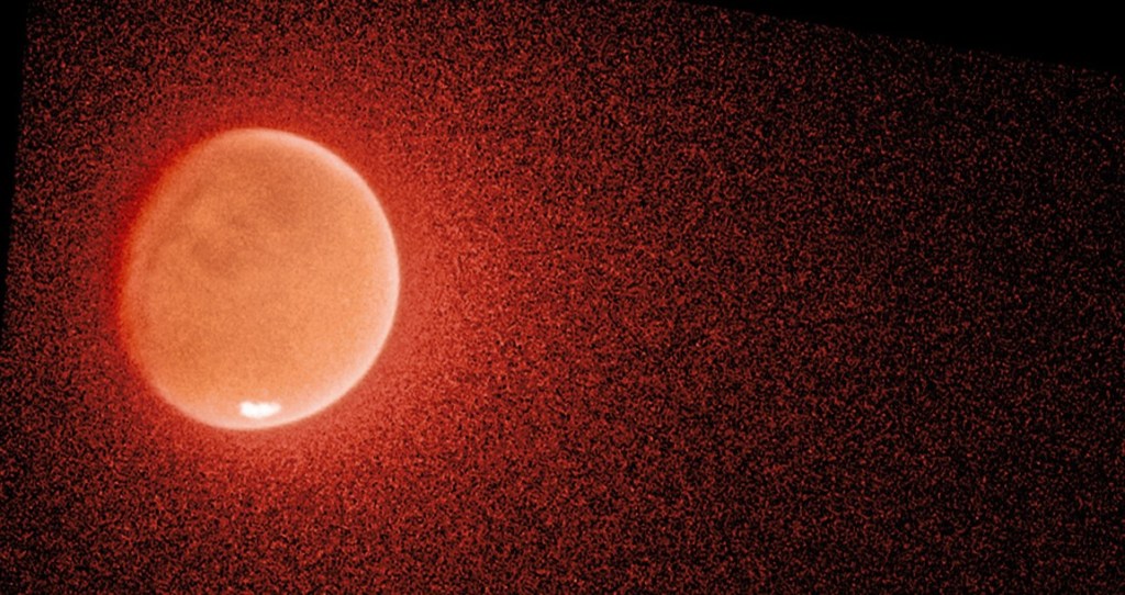
Hubble Helps Solve The Mystery of Mars' Escaping Water
Signs of Ancient Life on Mars? Here's What We See in This Intriguing Rock
Curiosity Rover Explores Gediz Vallis Channel (360 View)
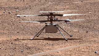
NASA Science Live: Ingenuity Mars Helicopter Tribute & Legacy
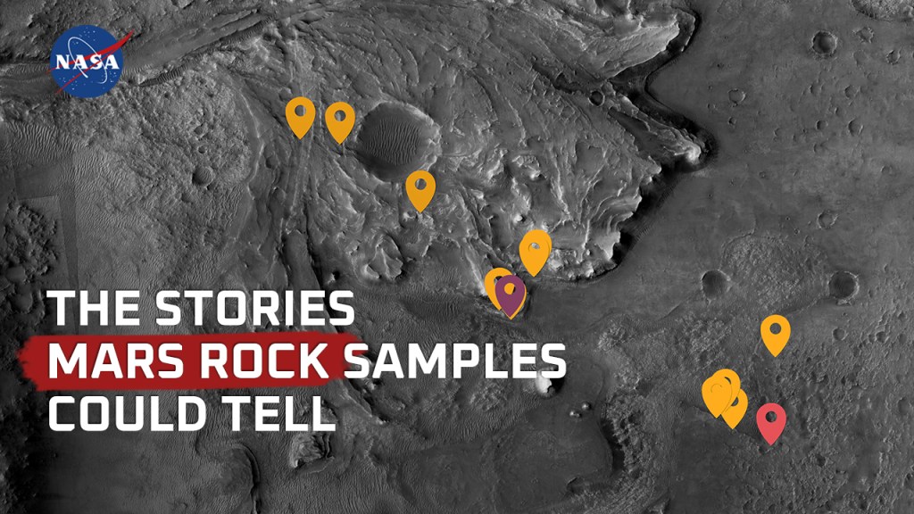
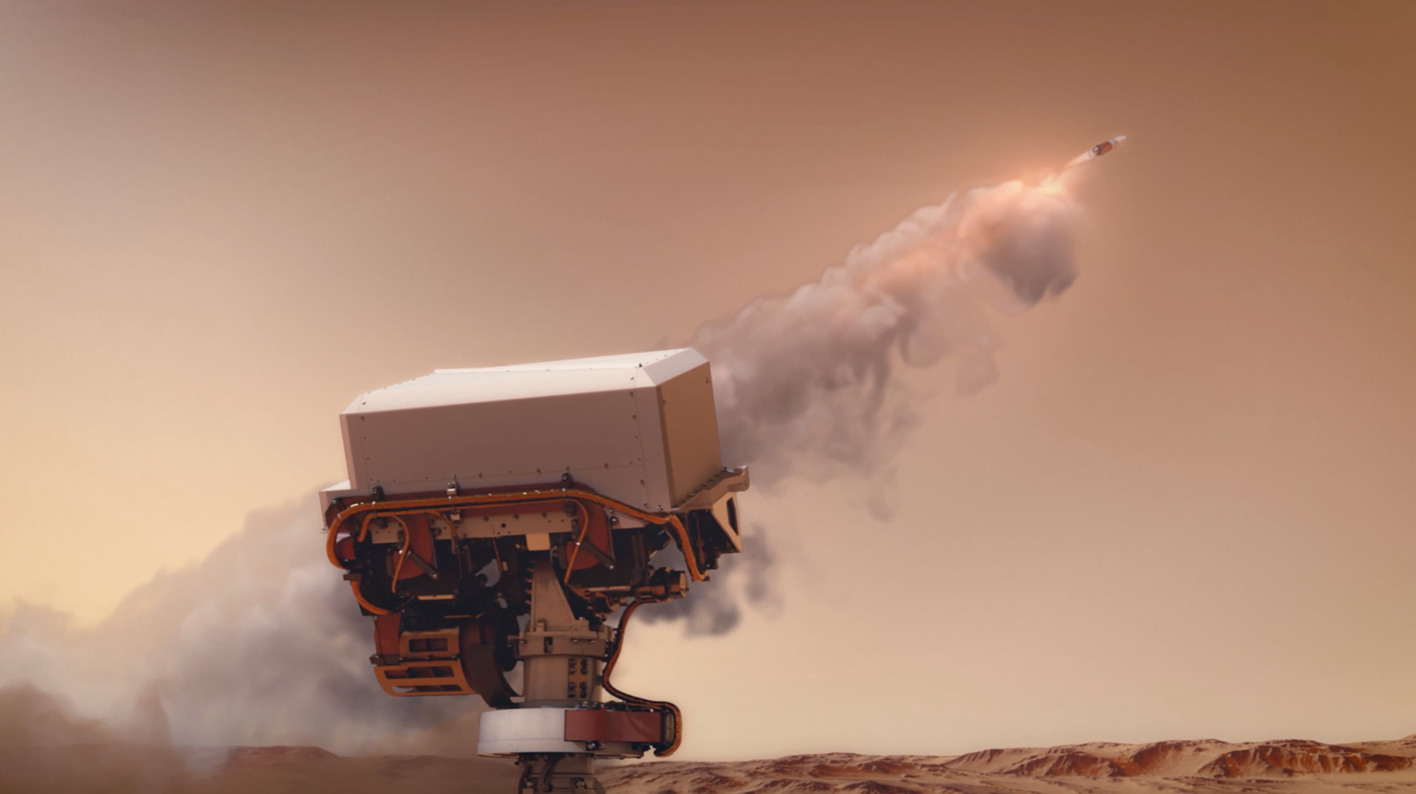
Mars Rock Samples: The Stories They Could Tell

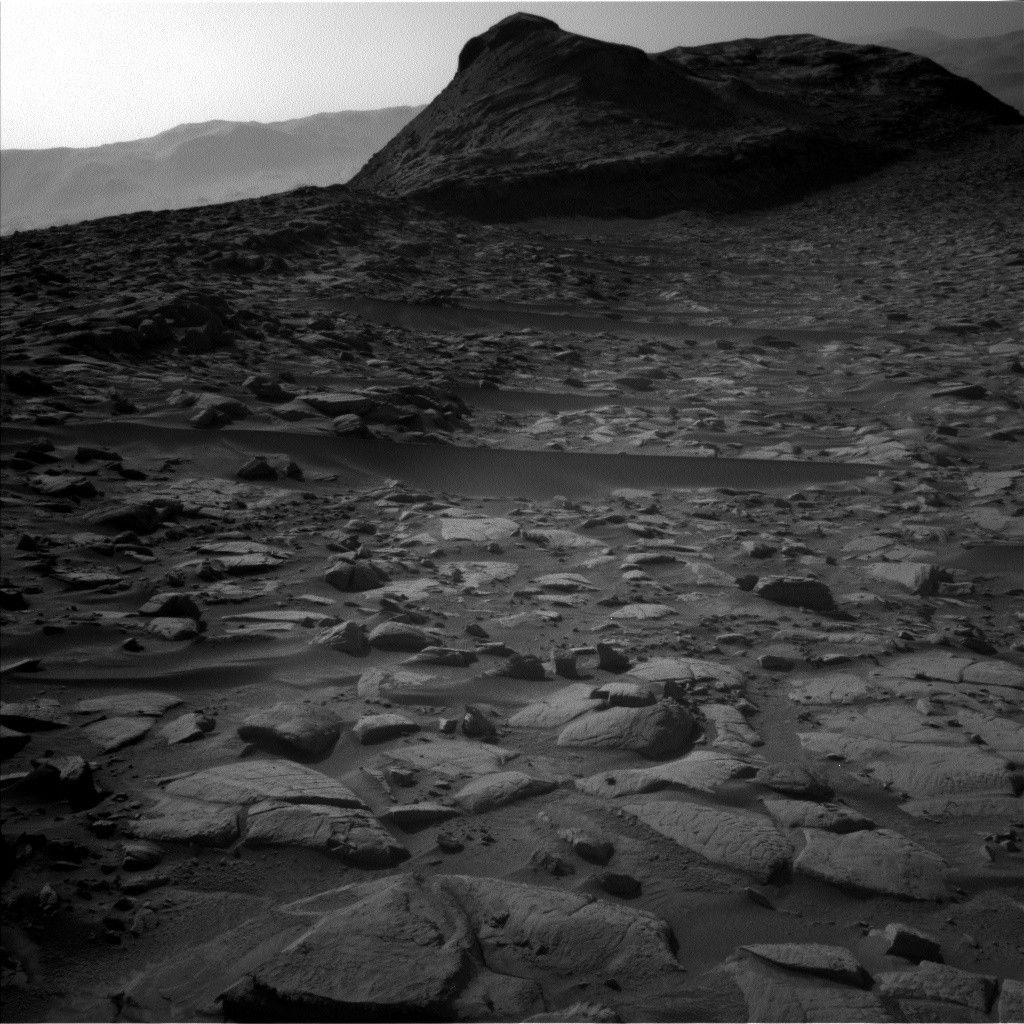
What NASA's Curiosity Rover Has Learned in Over 10 Years of Exploring
Images
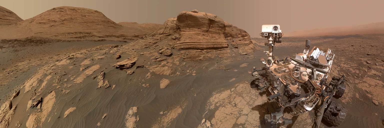
View images taken on the Red Planet by our robotic explorers, signature selfies, and more!
Explore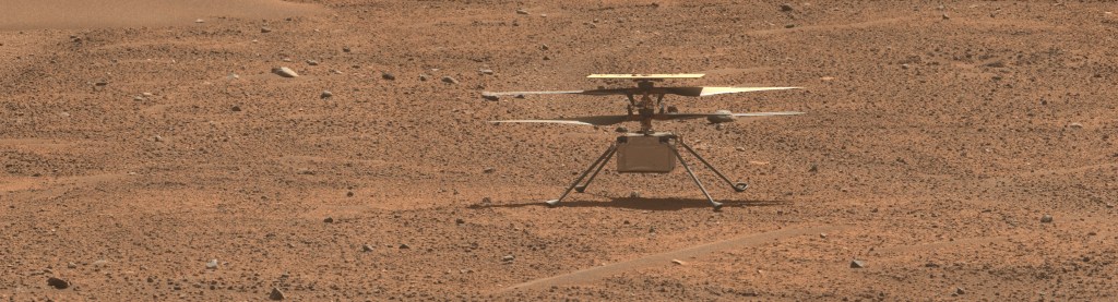
Mars Raw Images
Perseverance Rover
See the latest images the Perseverance rover sends back from Jezero Crater. Vote for your favorite to become "Image of the Week."
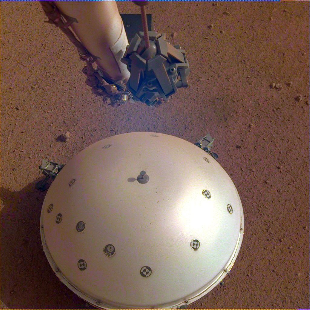
InSIght Lander
View the archived images taken by the Mars InSight lander from Elysium Planitia.
Audio

Sounds of Mars
Ever wonder how you would sound on Mars? Grab your headsets, turn up the volume and listen for the subtle differences between the sounds on Earth versus how they would sound on Mars.

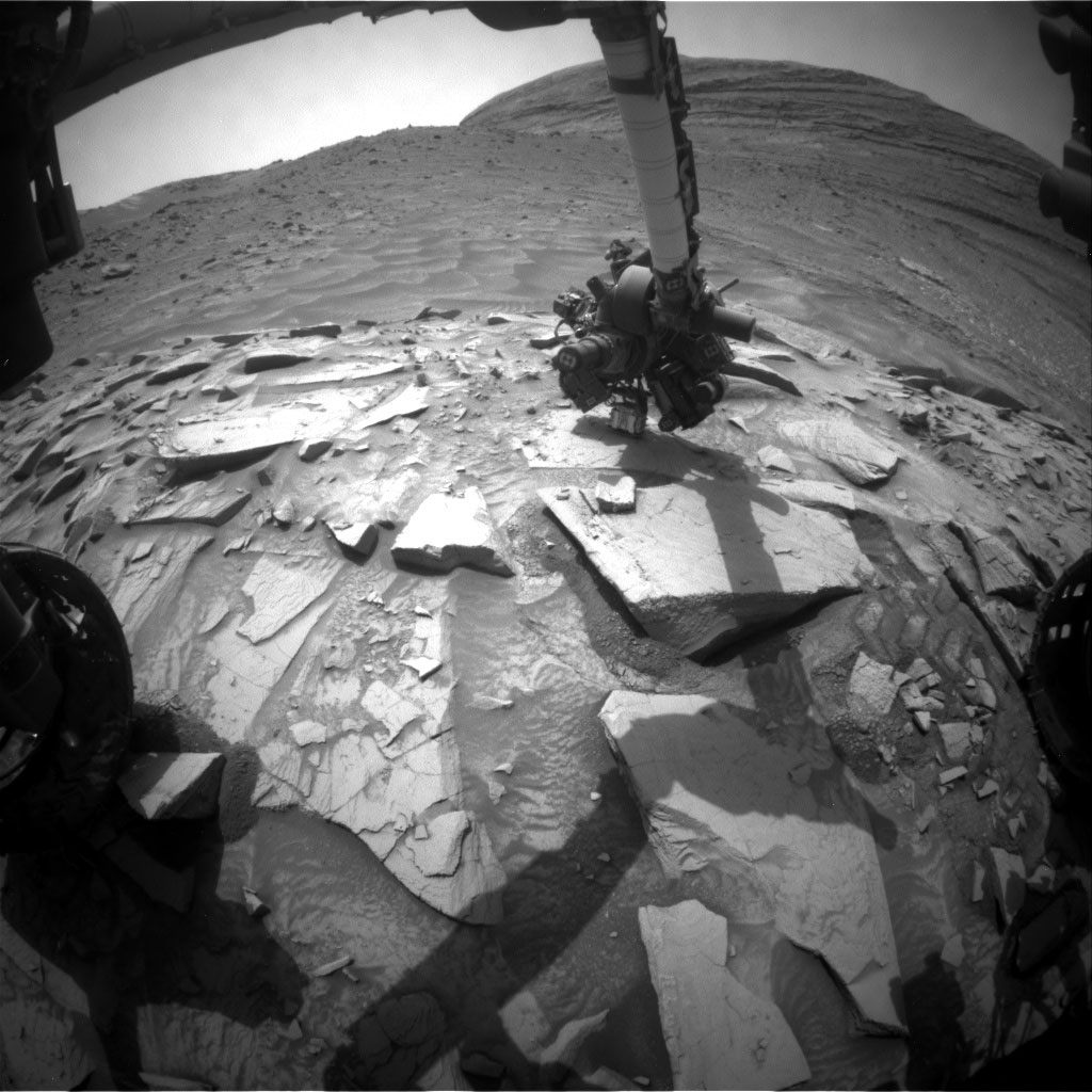
Digging In: When Rovers Get Dirt on Mars
Learn about rover drilling on Mars in this episode of NASA's Jet Propulsion Laboratory's "On a Mission" podcast.
Audio from Perseverance
What does a Martian dirt devil sound like? Or a rover driving on Mars? Immerse yourself on Mars by listening to these sounds and more!
Posters, Fact Sheets & Lithographs
Download Posters, Fact Sheets and Lithographs that explain the science behind the missions and dive deeply into specific topics.
View Digital Assets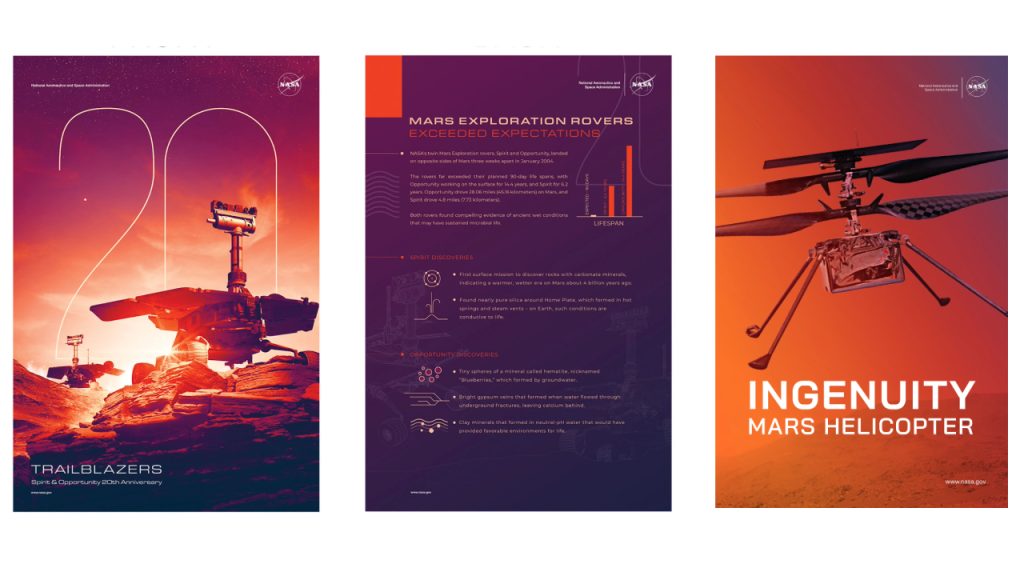
Activities
Make a Cardboard Rover
In this challenge, you will build your own rubber-band-powered rover that can scramble across a room.
Note: A Spanish version of this activity is available here.

Make a Paper Mars Helicopter
The goal for this project is to build your own paper helicopter. Then, just as NASA engineers had to try out different versions of the Mars Helicopter (called Ingenuity) before coming up with a final design, you will experiment with the design of your helicopter to see what works best.
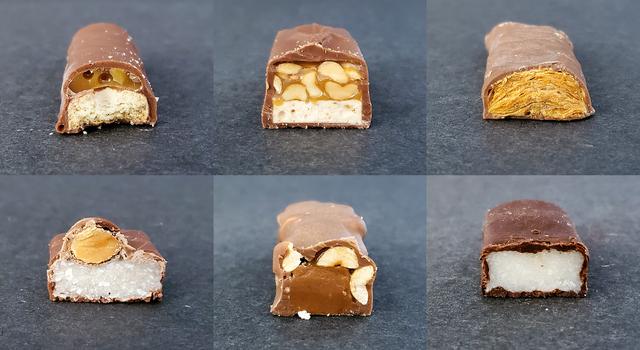
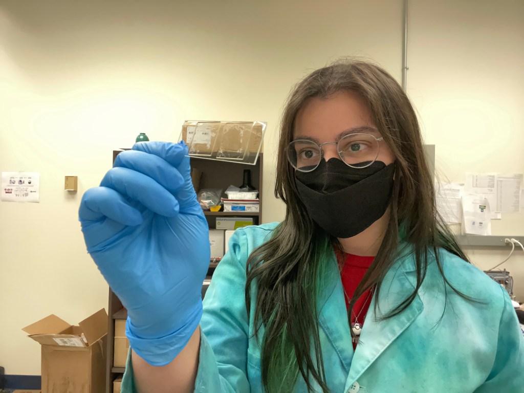
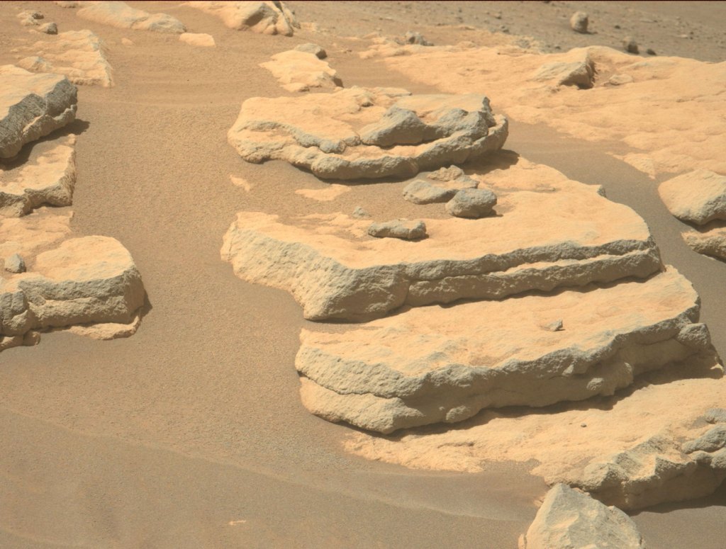
Describe Rocks Like a NASA Scientist
Learn how to describe rock samples like a NASA scientist. Then, take a quiz to see if you can match edible rocks made of candy bars – and real rocks from Earth and space – to the correct description.

Cloudspotting on Mars
Help scientists find distinct cloud shapes in the Martian atmosphere!
3D Models
Discover a collection of Mars and spacecraft models, ideal for visualization, 3D printing, and a range of other applications.
View More Models