Skip Navigation: Avoid going through Home page links and jump straight to content

banner.gif


Mars Global Surveyor
Mars Orbiter Camera


Cydonia: Two Years Later

MGS MOC Release No. MOC2-222, 5 April 2000


moc2_msss_labels_i.gif
FIGURE 1: Viking Orbiter mosaic showing landforms in Cydonia with popular, informal names.

The recent motion picture, "Mission to Mars," takes as part of its premise that certain features in the Cydonia region of Mars were constructed as monuments by ancient Martians. This idea---widely popularized in books, magazines, tabloids and other news/infotainment media---has its origin in the chance observation (in 1976) by one of the Viking Orbiter spacecraft of a face-like hill. The "face" and other nearby landforms are labeled in the above mosaic of Viking Orbiter images from the 1970s.

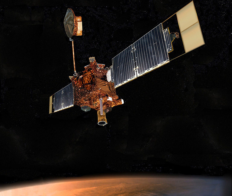
On April 5, 1998, the Mars Global Surveyor (MGS) spacecraft performed a specially-planned maneuver to photograph the "Face on Mars." Having successfully imaged the "Face" on its first attempt, two additional maneuvers were used to observe other purported "artifical" features: the "City" (a cluster of small mountains west-southwest of the "Face") and the "City Square" (a group of four small hills surrounded by the larger mountains of the "City"). These special observations occurred during the Science Phasing Orbits period of the MGS mission, while the spacecraft was in a 12 hour, elliptical orbit. A year later, in March 1999, MGS attained its final, circular, polar Mapping Orbit, from which it has now subsequently observed the planet for a year. During this year of mapping, the Mars Orbiter Camera (MOC) has continued to make observations within the Cydonia region whenever the MGS spacecraft has flown over that area.


Narrow Angle Camera Views of Cydonia

smaller_images/m12-01787_40perc.gif smaller_images/m08-04601_40perc.gif smaller_images/sp1-23903_40perc.gif smaller_images/m02-04227_40perc.gif smaller_images/m09-05394_40perc.gif smaller_images/m04-01903_40perc.gif smaller_images/m03-04566_40perc.gif smaller_images/m08-06460_40perc.gif smaller_images/m03-00766_40perc.gif smaller_images/m10-03053_40perc.gif smaller_images/sp1-22003_40perc.gif smaller_images/sp1-25803_40perc.gif moc2_msss_image_labels.gif
FIGURE 2: Location of MOC images acquired during the past two years, April 1998 to April 2000. Click on ID numbers to browse
the images. These are presented at 40% size with north approximately "up". For full-resolution images, see list below.

The above figure shows the location of all high resolution (narrow angle) MOC images of the Cydonia region that have been obtained to date, including the first three taken in 1998. Images acquired during the Science Phasing Orbit period of 1998 slant from bottom left to top right; Mapping Phase images (from 1999 and 2000) slant from lower right to upper left. Owing to the nature of the orbit, and in particular to the limitations on controlling the location of the orbit, the longitudinal distribution of images (left/right in the images above) is distinctly non-uniform. An attempt to take a picture of a portion of the "Face" itself (M12-01787) in mid-February 2000 was foiled when the MGS spacecraft experienced a sequencing error and most of that day's data were not returned to Earth. Only the first 97 lines of M12-01787 were received; the image's planned footprint is shown as a dashed box.


Wide Angle Camera Views of Cydonia

moc2_msss_wa_color_i.gif
FIGURE 3: Wide Angle Color Image from May 1999. 100 m/pixel 1 MByte Version

moc2_msss_wa_stereo_i.gif
FIGURE 4: Wide Angle Stereo Anaglyph from May 1999. 100 m/pixel 1 MByte Version

Although the resolution of the MOC wide angle cameras is too low to tell much about the geomorphology of the Cydonia region, the images from the red and blue wide angle cameras provide us with two types of information that is of interest in their own right: color and stereoscopic data. Above are a color view and a stereoscopic anaglyph rendition of Geodesy Campaign images acquired by MGS MOC in May 1999. To view the stereo image, you need red/blue "3-d" glasses.


Additional Information and Views

40% Views Accessed Via Figure 2:
Each of the high resolution, or narrow angle, views of the Cydonia region that can be accessed by clicking on the ID numbers in Figure 2 has been processed to remove the vertical striping that is caused by the non-uniform sensitivity of the MOC narrow angle camera; rotated so that north is approximately "up" and east is toward the right; linearly-stretched to show details/contrast, and reduced to 40% of its original size so that it can be viewed with most web-browsing software. Non-unity aspect ratios have not been corrected in these views.

Full-Resolution Views Accessed by ID Numbers Below:
The full-resolution views of each Cydonia image are provided in the list below. Each has been processed to remove the vertical striping that is caused by the non-uniform sensitivity of the MOC narrow angle camera. No additional processing has been applied. In particular, these images are usually not oriented with north to the top. Many also have aspect ratios greater than 1 (this means that craters will look "squished"). For those who want detailed information on these images that can be used to process them further, an ancillary data table is provided. Some of the full-resolution images are too large to be viewed in your web-browser; the "save this link as" option should be used to download the image to your desktop, then open it with your favorite image viewing or image processing software. All pictures are in GIF format.

SP1-22003 (3.9 MBytes)
SP1-23903 (4.2 MBytes)
SP1-25803 (4.4 MBytes)

M02-04227 (3.6 MBytes)
M03-00766 (1.7 MBytes)
M03-04566 (4.0 MBytes)

M04-01903 (4.9 MBytes)
M08-04601 (0.6 MBytes)
M08-06460 (3.4 MBytes)

M09-05394 (2.5 MBytes)
M10-03053 (2.6 MBytes)
M12-01787 (60 KBytes)

Several Large views of Figure 2 without labels:

120 meter/pixel (0.3 MBytes)
60 meter/pixel (0.93 MBytes)
20 meter/pixel (6.7 MBytes)

All Images Please Credit: NASA/JPL/Malin Space Science Systems


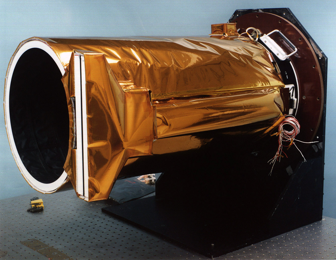
Malin Space Science Systems and the California Institute of Technology built the MOC using spare hardware from the Mars Observer mission. MSSS operates the camera from its facilities in San Diego, CA. The Jet Propulsion Laboratory's Mars Surveyor Operations Project operates the Mars Global Surveyor spacecraft with its industrial partner, Lockheed Martin Astronautics, from facilities in Pasadena, CA and Denver, CO.

babylogo.gifTo MSSS Home Page