3 min read

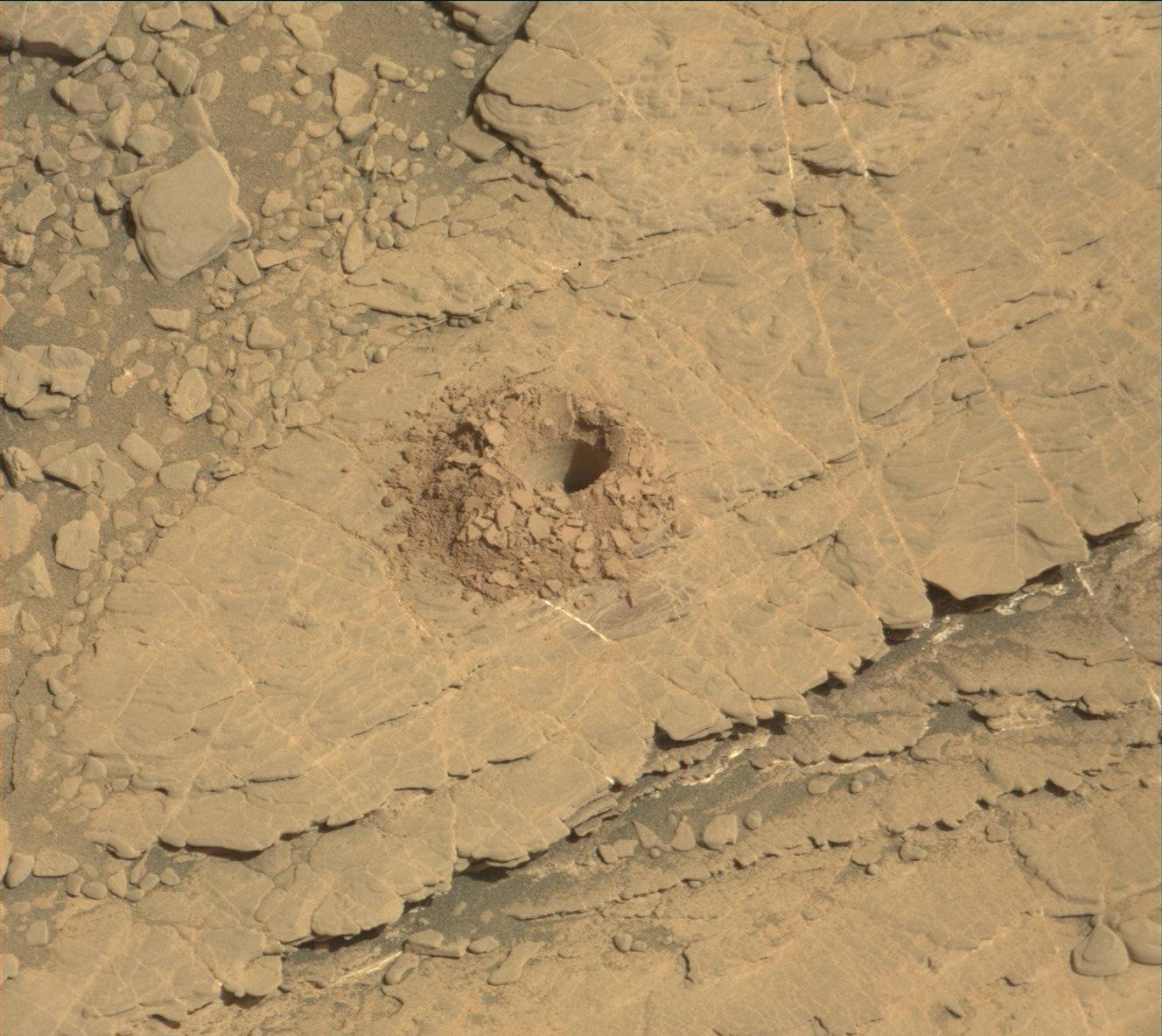
On Sunday morning the team received the message that Curiosity's latest drill hole was successful at "Glen Etive." This is the 22nd full-depth drill hole on Mars, and we can celebrate its success on this final day of Earth-year 7 of the mission. "Glen Etive" is the third hole in the clay unit. The other two holes, "Kilmarie" and "Aberladie," were drilled near each other in April at a lower stratigraphic position. This hole was achieved with no percussion, and its depth is > 4 cm. Tailings from the drill hole will be used for analyses of this outcrop by the SAM and CheMin instruments. The tailings will also be characterized by APXS, MAHLI, Mastcam, and ChemCam.
The operations and analysis surrounding a drill activity are well scripted, though not always easy. In today's plan, ChemCam will attempt to shoot down into the drill hole to analyze the rock layers on the wall of the hole. These are fresh rock surfaces and should generally represent the same material that SAM and CheMin analyze. It is dark in the hole, so the autofocus feature of ChemCam is significantly challenged. Getting a good image down the hole requires overexposing the other parts of the image so we can see better in the dark part of the hole. Early in the mission during my public talks, I would demonstrate the pointing accuracy needed to do this activity by tossing a dime down on the stage a few feet away and pointing at it with my laser pointer. The drill hole is the size of a dime. Making ChemCam laser observations up and down the drill hole wall is about like holding the laser pointer steady at different positions on Roosevelt's cheek on the face of the dime, lying on the floor.
Meanwhile, the arm will be busy with drill portion characterization. The activity creates "test portions" in order to make sure that there is sample material in the drill and that the portions are of the expected amount (for instrument safety). One is delivered to the ground and two to the back of the closed SAM inlet cover. The latter is the best "rehearsal" for dropping portions to the instruments, since it also allows us to gauge the amount of deflection by wind at the height of the rover deck. Mastcam images are used for documentation in all cases.
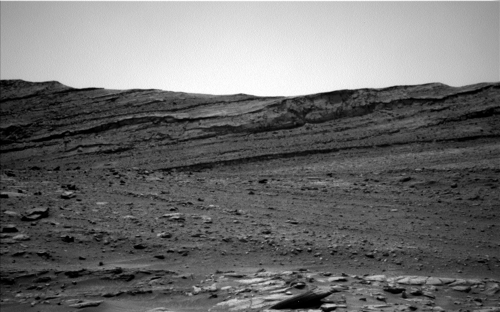
Mastcam will also take a mosaic of the area around the drill hole, and ChemCam will shoot one additional nearby target, "Argyll." The Hazcams will take images for a slip check of the rover. Navcam will do a dust-devil movie and a horizon movie to look for clouds. RAD, REMS, and DAN will also take data.
Written by Roger Wiens, Geochemist at Los Alamos National Laboratory


