3 min read

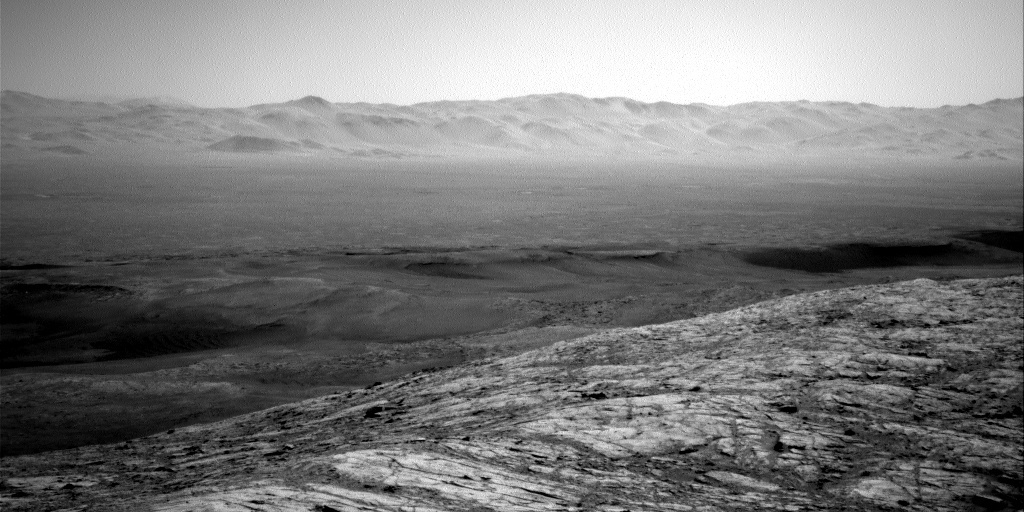
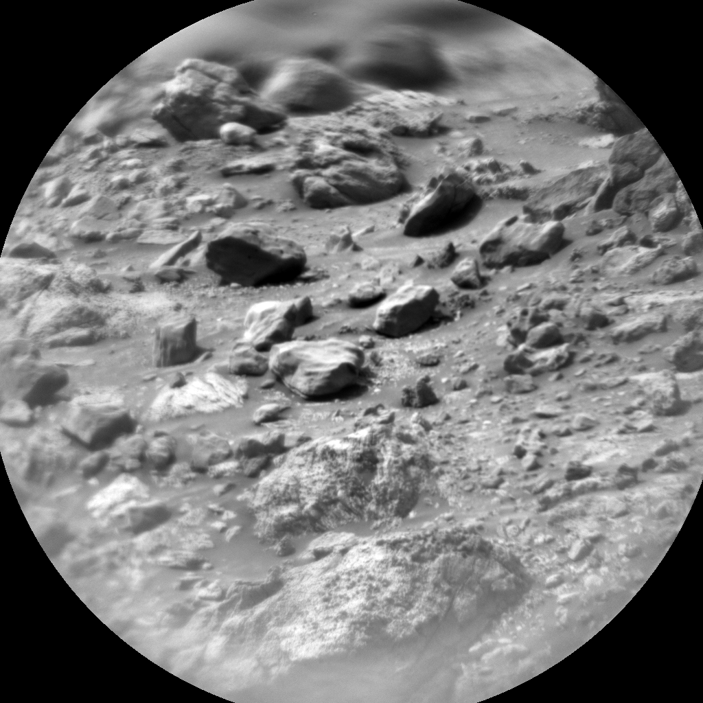
At the start of planning for the 3-sol weekend plan, we were told that telemetry showed one of Curiosity’s middle wheels was lifted ~15 cm off the ground following the previous drive. This meant we needed to do a short ‘bump’ to adjust the rover’s position ready for Monday’s planning and had to postpone the contact science we want to do while the rover sits at its highest point on Western Butte. Instead, we focused on doing all the remote surface science needed here and catching up on atmospheric monitoring observations after the holidays. Remote sensing observations included ChemCam rasters and Mastcam images of dark float blocks (“Shiskine” and “Lauderdale”) and a vein complex (“Hascosay”), RMI mosaics on Gediz Valles mound materials (“Craw Tap” and “Gowrie”), Mastcam multispectral observations of Lauderdale, and Mastcam mosaics of the Western Butte top and the Greenheugh Pediment. We also took a MARDI image to monitor surface changes underneath the rover.
Atmospheric science activities included our regular REMS atmospheric monitoring, RAD radiation monitoring, and DAN passive and active measurements of the subsurface. In the first sol, we also planned a Dust Devil Survey to look for dust-filled convective vortices around local noon, when convection is strong. This was followed by late afternoon activities in the first sol and early morning activities in the third sol, all of which involved making measurements of aerosols (dust or water ice). The two timings were chosen partly so we have some idea how aerosols change with time of sol, but also because imaging early or late in the day is often the best time to find clouds, because relative humidity increases when temperatures cool (provided the amount of water vapor stays the same). In the late afternoon on the first sol, we planned Mastcam measurements of the atmospheric aerosol opacity in the column above us and Mastcam and Navcam measurements of the visibility across the crater. We also planned three cloud observations with Navcam: a Phase Function Sky Survey - a set of images that we use to infer the properties of cloud particles; a Cloud Altitude Observation - movies of clouds and their shadows on Mt. Sharp that, in combination, allow us to infer both the height and speed of the clouds; and a Supra-Horizon movie that looks for clouds over the rim of the crater. Finally, early in the third sol we again measured the column and across-crater opacity with Mastcam, then took Navcam Zenith and Supra-Horizon movies to look for clouds above Mt. Sharp and the crater rim, respectively. Finally, the SAM team decided to repeat an atmospheric observation to measure the methane abundance, and this was performed in the third sol of the plan.
Having ‘un-wheelied’ in this plan, next week we’ll be doing the contact science we missed over the weekend, then heading down the Western Butte again and toward the Greenheugh pediment.
Written by Claire Newman, Atmospheric Scientist at Aeolis Research


