Mars 2020’s Final Four

November 19, 2018
| Credit | NASA/MGS/MOLA Science Team |
|---|---|
| Language |
|
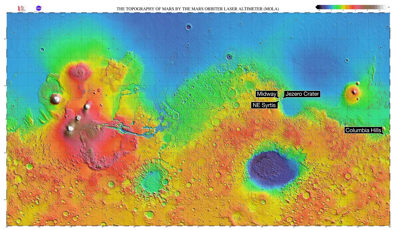
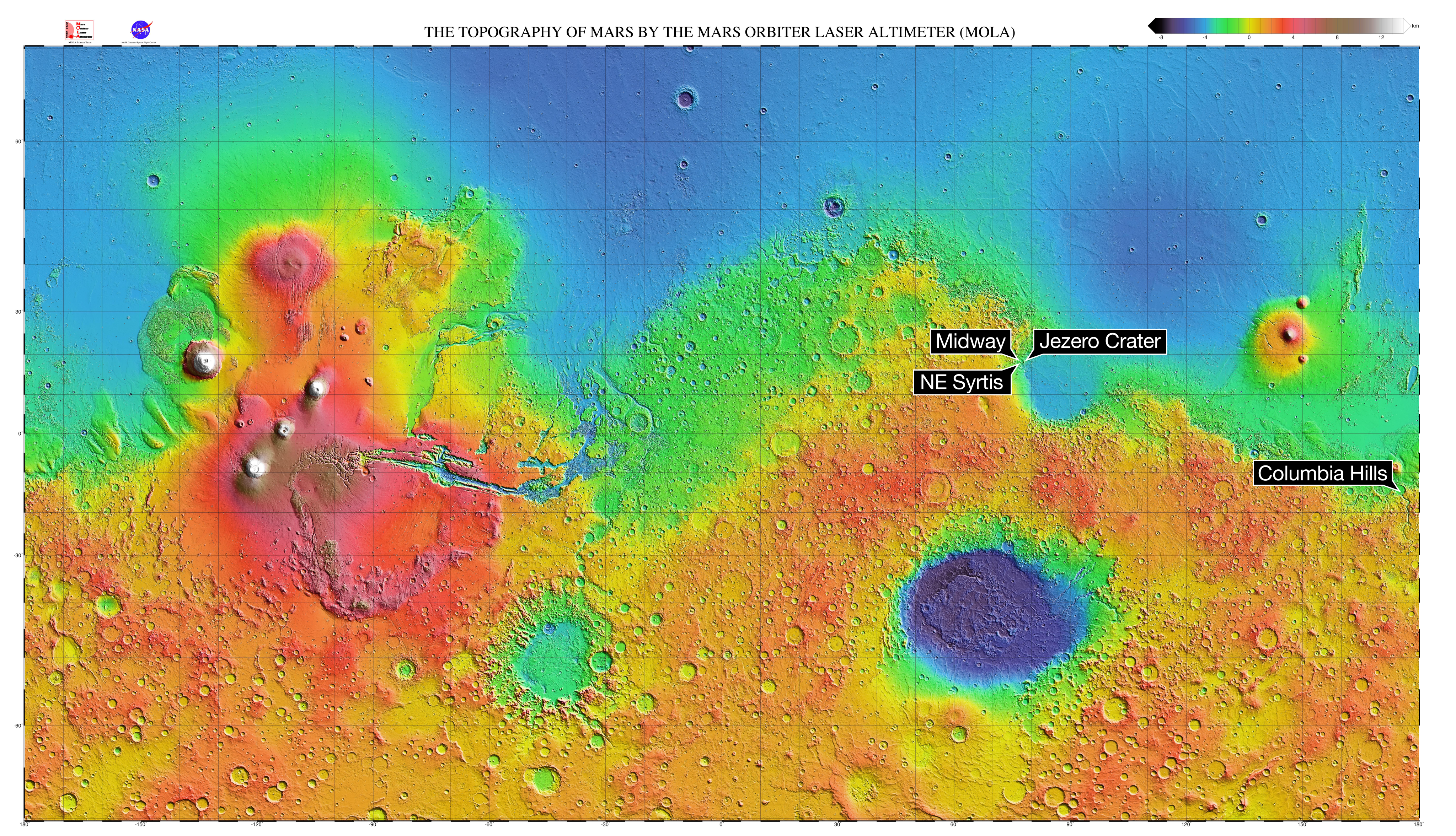
This Mars map depicts the final four locations under consideration for the landing site of Mars 2020. The topographic map of Mars was created by the Mars Orbital Laser Altimeter (MOLA) on board the robot Mars Global Surveyor spacecraft. MOLA measured heights on Mars by precisely determining the time it took for a low power laser beam to bounce off the surface.

