+ NASA Homepage
+ NASA en Español
+ Marte en Español
+ Mars Home
+ Odyssey Home
Latest Images
Calibration
Spacecraft
Instruments
Engineering Diagrams
Canyons
Craters
Polar Ice Caps
Water Features
Volcanoes
Martian Terrain
Dust Storms
Sand Dunes
Mars Artwork
Slideshows
Martian Terrain
Improved Infrared Imaging from Changed Odyssey Orbit
- 06/22/2009
Browse Image (32 kB)
|
Full Res TIF (2 MB)
View related Press Release
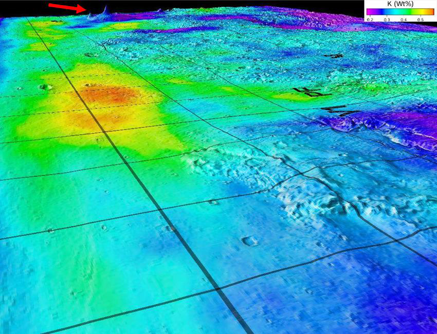
Potassium Concentrations on Mars
- 11/17/2008
Browse Image (36 kB)
|
Full Res JPG (433 kB)
View related University of Arizona Press Release
Selecting the Next Off-Road Tour of Mars
- 10/24/2007
Browse Image (100 kB)
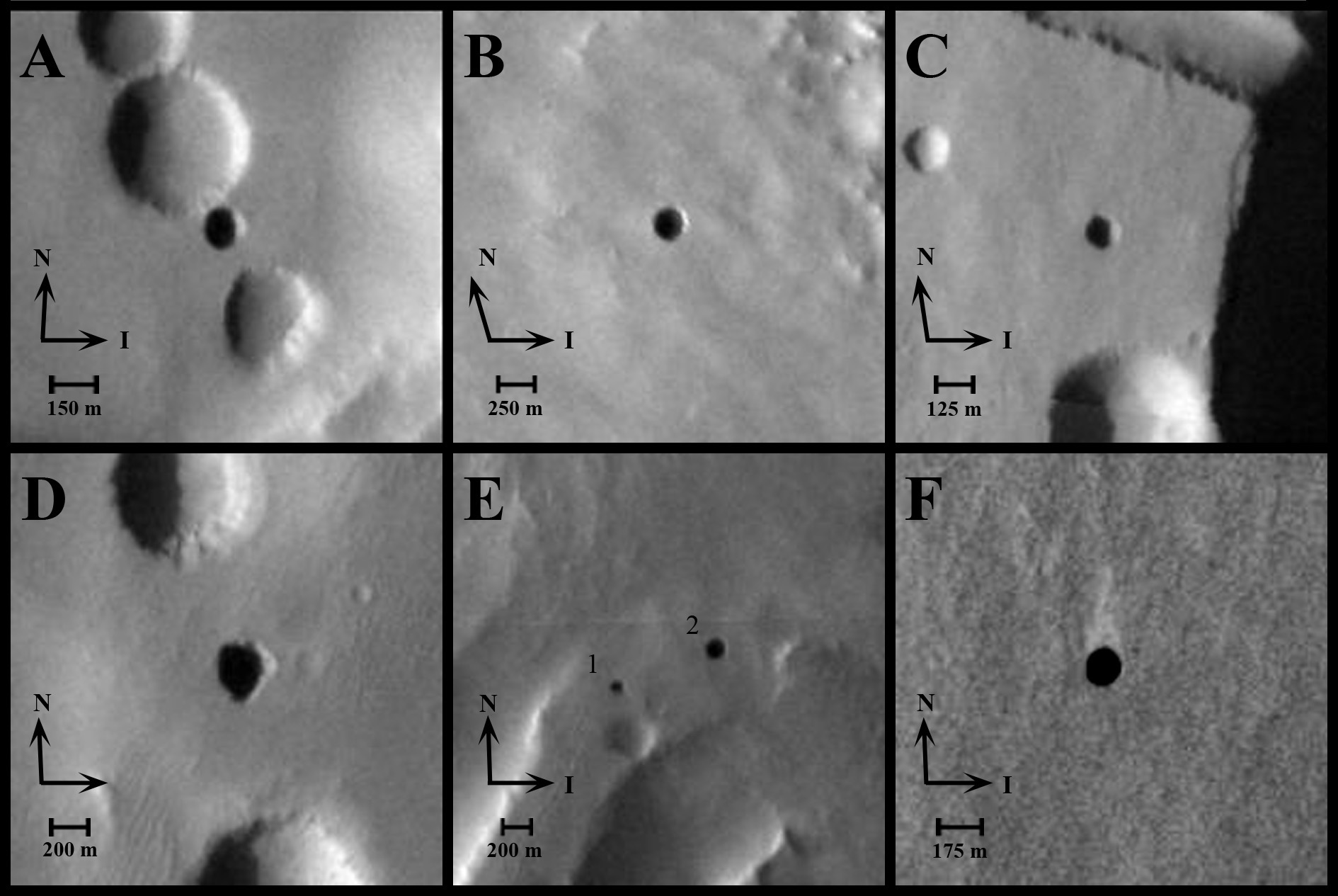
Seven Possible Cave Skylights on Mars
- 09/21/2007
(
View All Images
)
Browse Image (24 kB)
|
Full Res JPG (324 kB)
A Colorful Marriage of Old & Young
- 09/19/2007
Browse Image (88 kB)
|
Full Res JPG (777 kB)
In Search of Landing Sites on Mars
- 08/20/2007
Browse Image (107 kB)
|
Full Res JPG (2.82 MB)
Martian Clays Beckon
- 07/12/2007
Browse Image (124 kB)
|
Full Res JPG (64.3 MB)
Odyssey Views A Surface Changed by Floods
- 06/29/2007
Browse Image (94 kB)
|
Full Res JPG (30.6 MB)
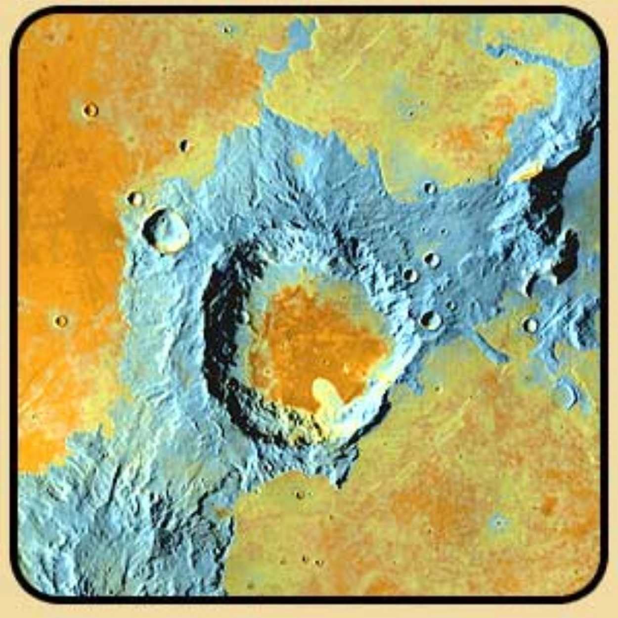
Depth-to-Ice Map of a Southern Mars Site Near Melea Planum
- 05/02/2007
Browse Image (72 kB)
|
Full Res JPG (1.93 MB)
Depth-to-Ice Map of an Arctic Site on Mars
- 05/02/2007
Browse Image (143 kB)
|
Full Res JPG (3.13 MB)
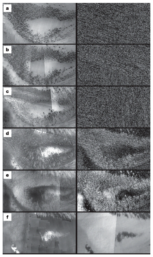
Dark Spots and Fans
- 08/16/2006
Browse Image with Caption
|
Full Res JPG (10.8 MB)
Dark Spots
- 08/16/2006
Browse Image with Caption
|
Larger JPG (203 kB)
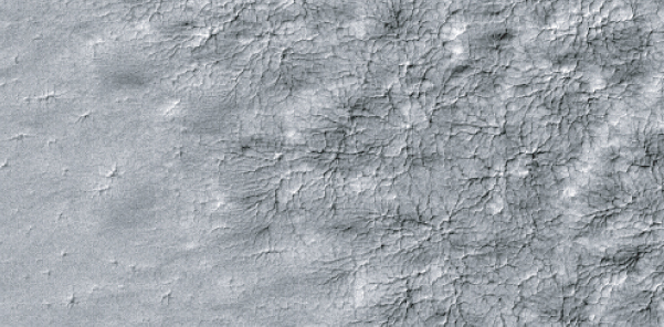
Spider Web Pattern
- 08/16/2006
Browse Image with Caption
|
Larger JPG (153 kB)
Olivine-Rich Bedrock Around Nili Fossae
- 06/01/2005
Browse Image (87 kB)
|
Full Res JPG (10.8 MB)
Odyssey/White Rock
- 10/01/2002
Caption and High Res images
available
JPL Image Use Policy
+ Freedom of Information Act
+ The President's Management Agenda
+ FY 2002 Agency Performance and
accountability report
+ NASA Privacy Statement, Disclaimer, and
Accessiblity Certification
Last Updated:
+ Comments and Questions


